Google+
Showing posts with label Photos. Show all posts

Wednesday, September 10, 2014

Round Mountain


Late in August (before too many snakes had started to get active) I again ventured over Round Mountain. I really cannot recommend a trail which is safe enough for the general public. Yes I loved the adventure, many wildflowers and I scoured the slopes for a hint of track to make it easier, but nothing came easy. Rewarding vistas were readily available to the hinterland, over Cudgen Lake and over Bogangar. The Round Mountain trig point marker had been damaged and the mountain is littered with hazards in the form of fallen branches ankle twisting rocks hidden under flattened grass but thankfully no snakes. Knowing how arduous the summit climb is, I now think that we should concentrate on defining a trail to the smaller hilltop closer to the village. Judy Ros and Gary have left some marker tape leading to the smaller hill. Before we add this as a trail we hope to find the safest route. I have some pictures from both hilltops for you to compare. Apologies for the picture quality but I only took my phone this time.


Replantings on the north facing slope between the two peaks


Lake view from the smaller hill


Views to the west of the high peak

Bogangar from the high peak

Lake view from above the saddle


The sad state of the Trig Marker

Saturday, July 14, 2012

Village Precinct - Northern Perimeter Trail

BIRT- Village Northern Perimeter Trail
            Grade 2 difficulty but no directional signs.
           1.2 km (one way) 25 minutes or
           allow 50 minutes for the return walk
           so that you can read the interpretive signage
           alongside the car park at the lake.

The trail commences without fanfare at this "Road Narrows" sign at the northern edge of the village


The trail down the slope is barred by a steel pipe barrier. This is obviously designed to deny access to motor bikes and vehicles but allow recreational walkers to enter.


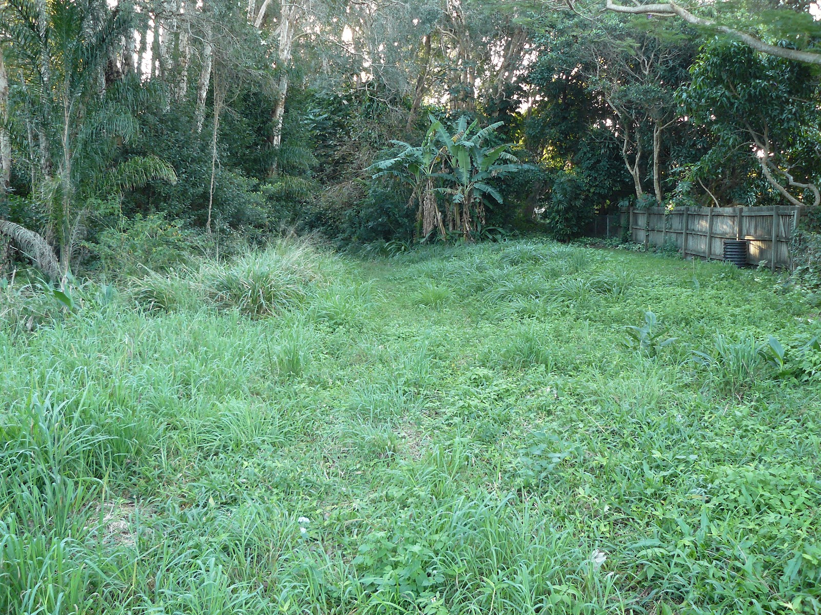
Close to the Tweed Coast Road the residents keep the buffer zone in neatly trimmed condition
While residents are happy to do the work National Parks and Wildlife are rigorous in ensuring that no dogs are allowed to walk this trail. A $300 fine is a fair deterrent.


Fire damage from 2009 fires is still evident but the biodiversity of this region ensures quick recovery
 
 
The grasses make a quick recovery


Work on the drainage in this area is almost finished. (July 2012) Pipes have been laid under this area and grass should be regrowing quite soon. This clump of trees will often reveal a koala and credit to NPWS for ensuring these trees were not felled.


The newly laid pipes are directing the water from the Tamarind Avenue area into the Cudgen Nature Reserve


Some pinus species have grown in this region probably regenerated by seed dispersed by birds. The grass understory is home to an amazing variety of finches


The grassed area adjacent to the Lakeside Apartments is private property so I veered slightly north westerly toward Cudgen Lake.


This trail should be discussed with NPWS. There are some bollards ensuring walkers do not continue toward Camp Wolumbin so I went to the edge of the lake and then around the southern shore.
 
 
A joy to spend some time with this serenity


A view includes Woolumbin on the clear days


Lake views


The purple swamp hen


A very wary spoonbill (2 seconds later it was airborne)


The carpark at the end of the Trail has some interpretive signage and its worth going a few extra metres to view the connection from the lake to the Friday Island canal. A wonderful kayaking area.

Friday, July 13, 2012

Village Precinct - Western Fire Buffer Trail


Western edge of the village - Western fire buffer trail

800 metres
10 minutes one way
Flat
Formed Track but can be overgrown after wet weather
No signage
No experience required


View BIRT Village western buffer trail in a larger map


If driving to commence this walk there is a nice clearing at the end of Poinciana Avenue suitable for parking. This gate is not connected to a fence so it is just barring vehicles from heading south.


Heading south there is a clear wide track with a little creek hopping sometimes required


Someone does some maintenance


This pond attracts a variety of bird life


This gate with adjacent fencing is padlocked and unless you want to climb and risk wet boots is an impediment to the zone further to the south.


Heading north from Poinciana Ave the buffer zone is trimmed by one of the adjoining residents


A few climbers have escaped into the coastal reserve


This reserve allows access to or from Kurrajong Ave (between House No 32 and No 34)


On this day after quite a wet period the grass could have been slashed but I am sure the council is reluctant to risk getting bogged.


Some residents are enjoying the adjacent fire buffer zone


The trail heads to its end


This gate at the Clothiers Creek Road end is not padlocked


These signs are directly opposite the gate to the Western fire buffer trail on Clothiers Creek road


Monday, June 25, 2012


Goanna Track, Inland and Maggies Beach Trail


(As described by Graeme, Elaine and Ron)

This track is very problematic as it cuts across both the edge of the restricted area due to sewage works and the designated caravan park precinct - BUT, here it is anyway!


Initial entry is via the Goanna Track.


Bogangar Public School students have constructed a totem pole near the track entrance.
Once halfway to the beach, take the track heading south.


The rich variety of vegetation includes Pandanas Trees.


On reaching the access road at the southern end of the walk, turn east towards Maggies Beach.


There are several points of entry to the beach.


Once on the beach travel north towards Norries Headland.


The entrance to the Goanna Track is clearly marked. Follow the track back to the starting point.


Norries Headland, Maggies Beach and Inland Trail

(As described by Graeme, Elaine and Ron)

This trail has been created to avoid any possible conflict with the location of a future caravan park precinct or the area designated as out of bounds due to sewage works.


The walk commences at the entry to Lions Park, just off the Coast Road/Hastings Road roundabout. The 1.6 kilometre walk includes the recent track prepared by Dune Care for National Tree Day.


The trail leads through an interesting variety of vegetation types.


A significant feature is the Banksia forest.


Kookaburras enjoy the forest as well.


Brightly coloured Bracket Fungi are located along the trail.


As you get closer to the beach the vegetation changes.


The entry to Maggies Beach.


Once on Maggies Beach, turn north and walk to Norries Headland and ascend the walkway.


The view from Norries is spectacular no matter which direction you may be facing. The photo shows Maggies Beach to the immediate south.

Descend the boardwalk and walk through to Lions Park and across to the point of entry for the walk.